StormWatcher Vermont storm cams and snow line
| Resort | Weather nowat the top | Freezing levelnow | Lowest snow next 24 hforecast | SG SnowFactorSnowFactor rates how likely snow is at the top of each resort over the next 24 hours, from 0 to 10. It is SnowGrabber's own calculation, built from Open-Meteo wet bulb and precipitation forecasts and each mountain's height. 7 or more: snow likely up high. 0: not this time.next 24 h | SG MakeFactorMakeFactor rates the snowmaking window at each resort's base area each night, 6 pm to 9 am, from 0 to 10. It counts the hours at 28°F wet bulb or colder and how cold they get: 7 or more is prime, 4 to 6 good, 1 to 3 marginal. It says the weather allows snowmaking, not that a resort is making snow. SnowGrabber's own calculation, from Open-Meteo hourly wet bulb.tonight | Snow last 24 hat the top | Snow next 24 hforecast |
|---|---|---|---|---|---|---|---|
| Mount Mansfield summitVT High Point · 4,393 ft | 30°FClear | Below freezing at the top, cold enough for snow. The higher 0°C level is a warm layer aloft, above the mountain.6,000 ftwarm layer aloft | – | Dry | |||
| Ascutneytop 1,244 ft | 35°FClear | Summit above the freezing level: below freezing from 1,000 ft up, cold enough for snow up top.1,000 ft | Snow level drops below the base in the next 24 hours, to sea level: cold enough for snow top to bottom.sea level | 0 | – | Dry | |
| Bolton Valleytop 3,120 ft | 34°FClear | Summit below the freezing level: above freezing all the way to the top, rain if anything falls.6,800 ft | Snow level drops below the base in the next 24 hours, to 1,400 ft: cold enough for snow top to bottom.1,400 ft | 0 | 3 | – | Dry |
| Brattleborotop 590 ft | 31°FClear | Snow level drops below the base in the next 24 hours, to sea level: cold enough for snow top to bottom.sea level | 0 | 6 | – | Dry | |
| Bromleytop 3,270 ft | 33°FClear | Summit below the freezing level: above freezing all the way to the top, rain if anything falls.8,400 ft | Snow level drops below the base in the next 24 hours, to 900 ft: cold enough for snow top to bottom.900 ft | 0 | 2 | – | Dry |
| Burketop 3,207 ft | 31°FClear | 0 | 6 | – | Dry | ||
| Cochran'stop 709 ft | 37°FClear | Summit below the freezing level: above freezing all the way to the top, rain if anything falls.6,400 ft | Snow level drops below the base in the next 24 hours, to sea level: cold enough for snow top to bottom.sea level | 0 | 2 | – | Dry |
| Hard'Acktop 773 ft | 36°FClear | Summit below the freezing level: above freezing all the way to the top, rain if anything falls.6,200 ft | Snow level drops below the base in the next 24 hours, to 200 ft: cold enough for snow top to bottom.200 ft | 0 | – | Dry | |
| Jay Peaktop 3,822 ft | 32°FClear | Below freezing at the top, cold enough for snow. The higher 0°C level is a warm layer aloft, above the mountain.6,800 ftwarm layer aloft | Snow level drops below the base in the next 24 hours, to 1,400 ft: cold enough for snow top to bottom.1,400 ft | 0 | 0 | – | Dry |
| Killingtontop 4,139 ft | 29°FClear | Below freezing at the top, cold enough for snow. The higher 0°C level is a warm layer aloft, above the mountain.7,300 ftwarm layer aloft | Snow level drops below the base in the next 24 hours, to 900 ft: cold enough for snow top to bottom.900 ft | 0 | 2 | – | Dry |
| Lyndontop 1,249 ft | Lyndonville station, 1,171 ft 29°F · wet bulb 27° · wind 0 ktKCDA · NOAA Aviation Weather CenterClear |
Freezing level below the base: below freezing top to bottom, cold enough for snow on the whole mountain.500 ft | Snow level drops below the base in the next 24 hours, to sea level: cold enough for snow top to bottom.sea level | 0 | – | Dry | |
| Mad Rivertop 3,626 ft | 33°FClear | Summit below the freezing level: above freezing all the way to the top, rain if anything falls.7,200 ft | Snow level drops below the base in the next 24 hours, to 1,600 ft: cold enough for snow top to bottom.1,600 ft | 0 | 1 | – | Dry |
| Magic Mountaintop 2,858 ft | 31°FClear | Below freezing at the top, cold enough for snow. The higher 0°C level is a warm layer aloft, above the mountain.7,800 ftwarm layer aloft | Snow level drops below the base in the next 24 hours, to sea level: cold enough for snow top to bottom.sea level | 0 | 5 | – | Dry |
| Middleburytop 2,661 ft | 35°FClear | Summit below the freezing level: above freezing all the way to the top, rain if anything falls.7,400 ft | Snow level drops below the base in the next 24 hours, to 1,100 ft: cold enough for snow top to bottom.1,100 ft | 0 | 1 | – | Dry |
| Mount Snowtop 3,591 ft | 32°FClear | Below freezing at the top, cold enough for snow. The higher 0°C level is a warm layer aloft, above the mountain.8,300 ftwarm layer aloft | Snow level drops below the base in the next 24 hours, to 700 ft: cold enough for snow top to bottom.700 ft | 0 | 3 | – | Dry |
| Northeast Slopestop 1,147 ft | 30°FClear | Freezing level below the base: below freezing top to bottom, cold enough for snow on the whole mountain.200 ft | Snow level drops below the base in the next 24 hours, to sea level: cold enough for snow top to bottom.sea level | 0 | – | Dry | |
| Okemotop 3,322 ft | 31°FClear | Below freezing at the top, cold enough for snow. The higher 0°C level is a warm layer aloft, above the mountain.7,500 ftwarm layer aloft | Snow level drops below the base in the next 24 hours, to 800 ft: cold enough for snow top to bottom.800 ft | 0 | 1 | – | Dry |
| Pico Mountaintop 3,934 ft | 26°FClear | Below freezing at the top, cold enough for snow. The higher 0°C level is a warm layer aloft, above the mountain.7,000 ftwarm layer aloft | Snow level drops below the base in the next 24 hours, to 300 ft: cold enough for snow top to bottom.300 ft | 0 | 3 | – | Dry |
| Quecheetop 1,240 ft | 33°FClear | Freezing level below the base: below freezing top to bottom, cold enough for snow on the whole mountain.200 ft | Snow level drops below the base in the next 24 hours, to sea level: cold enough for snow top to bottom.sea level | 0 | 5 | – | Dry |
| Rikerttop 1,880 ft | 34°FClear | Summit below the freezing level: above freezing all the way to the top, rain if anything falls.7,000 ft | Snow level drops below the base in the next 24 hours, to 200 ft: cold enough for snow top to bottom.200 ft | 0 | 3 | – | Dry |
| Saskadena Sixtop 1,353 ft | 36°FClear | Summit above the freezing level: below freezing from 1,000 ft up, cold enough for snow up top.1,000 ft | Snow level drops below the base in the next 24 hours, to sea level: cold enough for snow top to bottom.sea level | 0 | 3 | – | Dry |
| Smugglerstop 3,648 ft | Mount Mansfield summit station, 3,944 ft 27°FMMNV1 · Iowa Environmental MesonetClear |
Below freezing at the top, cold enough for snow. The higher 0°C level is a warm layer aloft, above the mountain.6,400 ftwarm layer aloft | Snow level drops below the base in the next 24 hours, to 1,000 ft: cold enough for snow top to bottom.1,000 ft | 0 | 2 | – | Dry |
| Stowetop 3,661 ft | Mount Mansfield summit station, 3,944 ft 27°FMMNV1 · Iowa Environmental MesonetClear |
Below freezing at the top, cold enough for snow. The higher 0°C level is a warm layer aloft, above the mountain.7,100 ftwarm layer aloft | Snow level reaches 1,700 ft at its lowest in the next 24 hours: cold enough for snow from there up.1,700 ft | 0 | 0 | – | Dry |
| Strattontop 3,883 ft | 29°FClear | Below freezing at the top, cold enough for snow. The higher 0°C level is a warm layer aloft, above the mountain.8,200 ftwarm layer aloft | Snow level drops below the base in the next 24 hours, to 600 ft: cold enough for snow top to bottom.600 ft | 0 | 3 | – | Dry |
| Sugarbushtop 4,066 ft | 31°FClear | Below freezing at the top, cold enough for snow. The higher 0°C level is a warm layer aloft, above the mountain.7,100 ftwarm layer aloft | Snow level drops below the base in the next 24 hours, to 1,000 ft: cold enough for snow top to bottom.1,000 ft | 0 | 0 | – | Dry |
Every cam, snowing resorts first
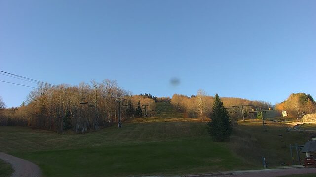
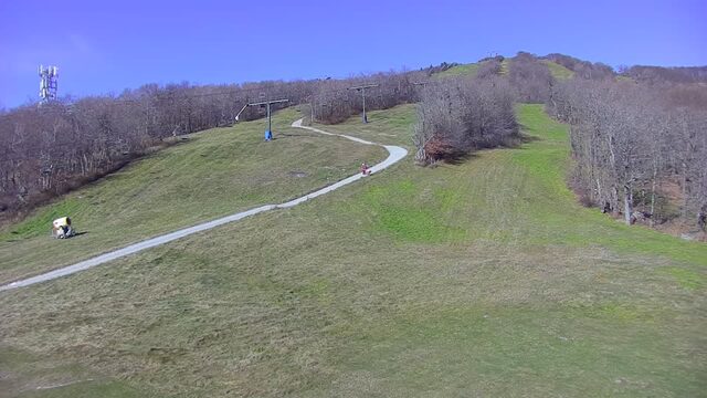
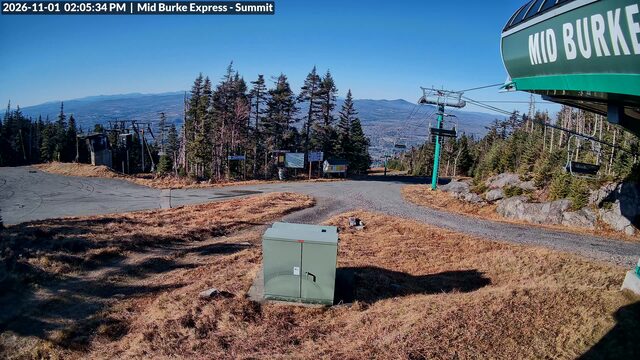
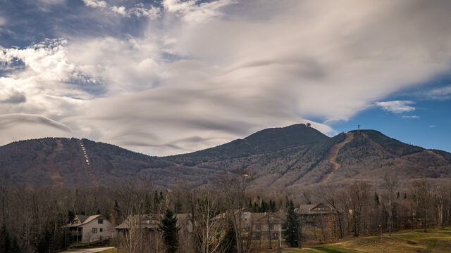
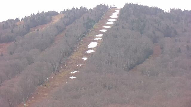


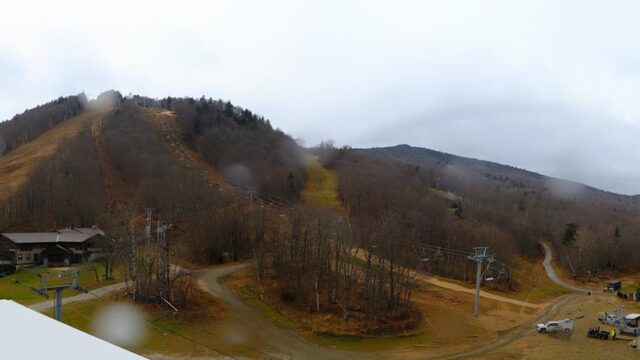
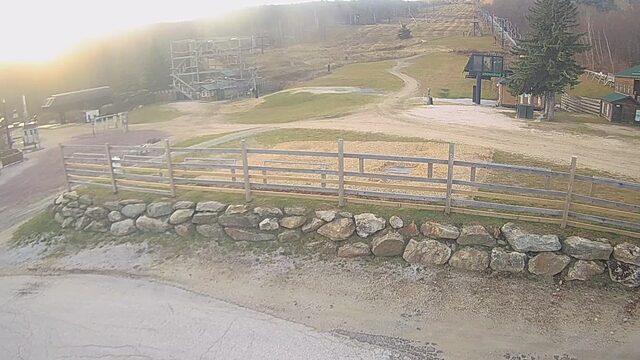
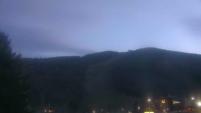
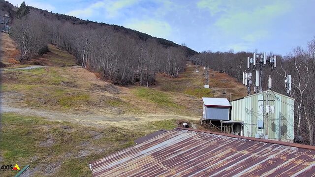
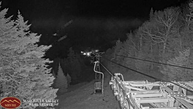
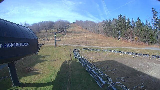

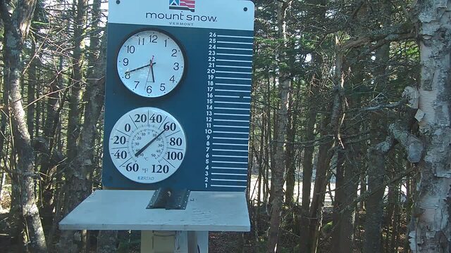

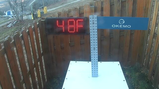

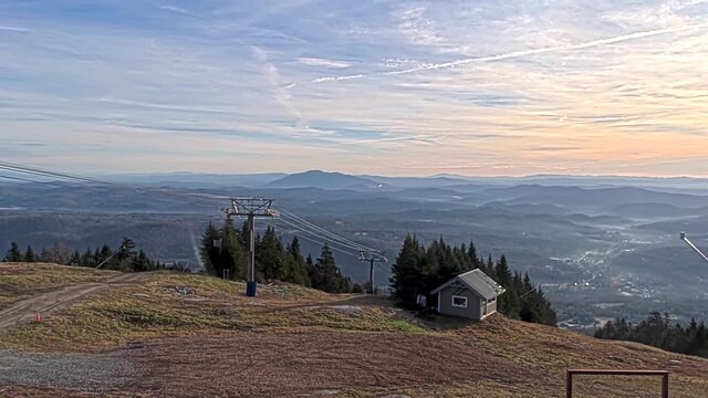





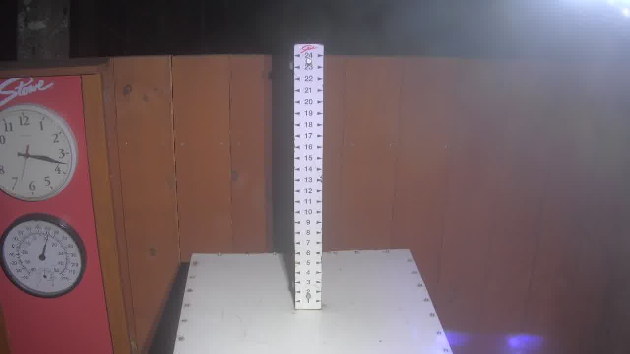
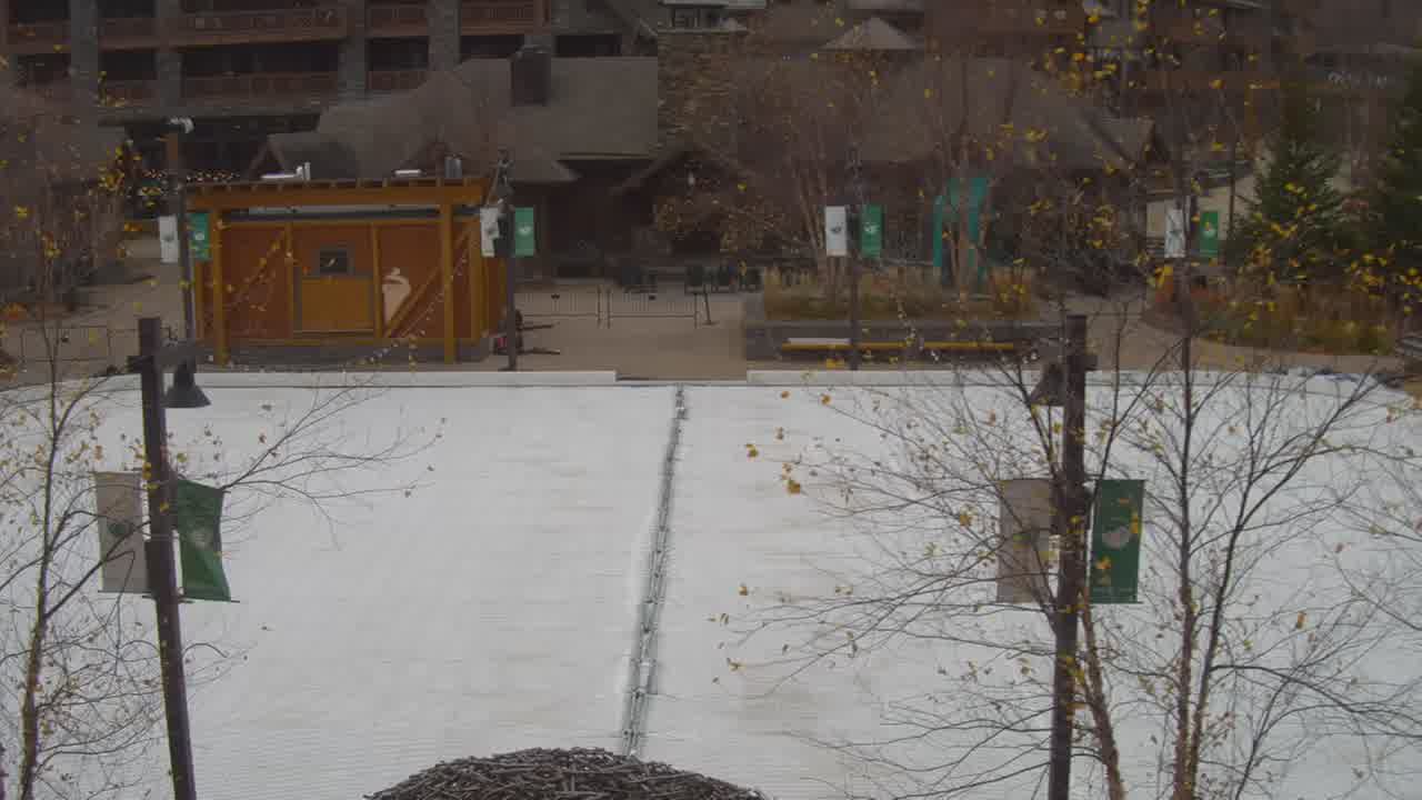
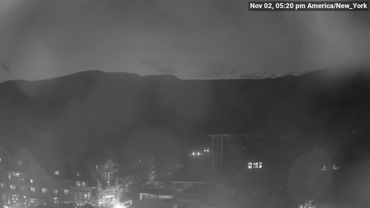
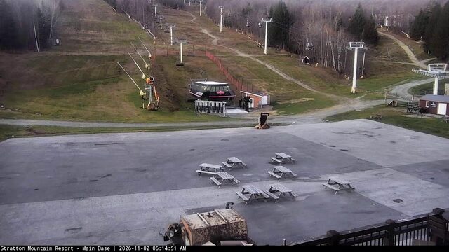
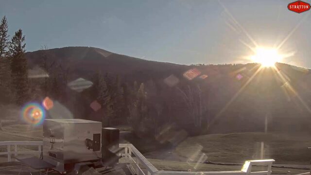
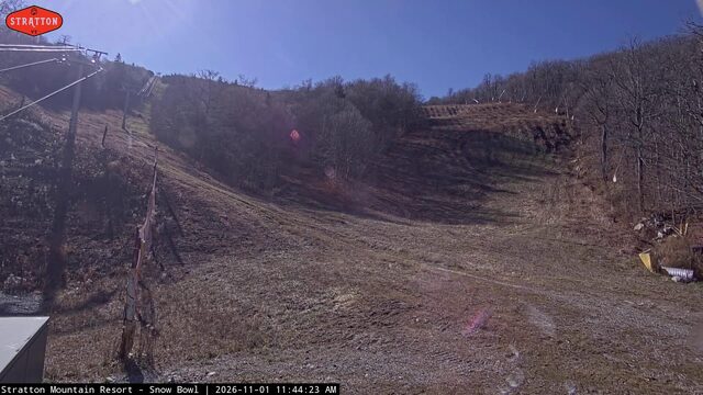
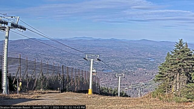


SnowFactor rates how likely snow is at the top of each resort over the next 24 hours, from 0 to 10. It is SnowGrabber's own calculation, built from Open-Meteo wet bulb and precipitation forecasts and each mountain's height. 7 or more: snow likely up high. 0: not this time.
MakeFactor rates the snowmaking window at each resort's base area each night, 6 pm to 9 am, from 0 to 10. It counts the hours at 28°F wet bulb or colder and how cold they get: 7 or more is prime, 4 to 6 good, 1 to 3 marginal. It says the weather allows snowmaking, not that a resort is making snow. SnowGrabber's own calculation, from Open-Meteo hourly wet bulb.
Mount Mansfield summit images: WCAX -- SkyWatch3, via LiveObservatory. Resort weather is modelled (Open-Meteo), not measured. Maps and satellite are copies of NWS and NOAA images, refreshed every 30 minutes. The freezing level and snow level are roughly where rain turns to snow. The cams show what actually happened.